


4.4.3 Case 2: City with Nature
Course subject(s)
Module 4: Integrated Building with Nature Design
Introduction
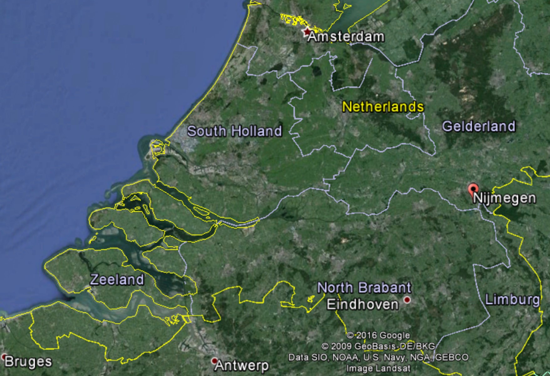
On its journey through the Netherlands, the Waal River passes the city of Nijmegen, in the Eastern part of the country. To prevent dangerous situations similar to those of 1993 and 1995 when extreme river discharges occurred and major evacuations of people and animals had to be undertaken, more room has to be given to the river near Nijmegen.
Rijkswaterstaat (RWS), the operational arm of the Dutch Ministry of Infrastructure and the Environment, has planned to make Room for the River in the proximity of Nijmegen. The city of Nijmegen and the district waterboard Rivierenland are also involved in the plan.
We are required to design a nature friendly solution that makes Room for the River while maintaining the flood safety standard and improving the quality of the environment for urban dwellers.
Where is Nijmegen located?
Nijmegen is located in the Eastern part of the Netherlands. The river Waal, a branch of the river Rhine, flows through the city.

Would you like to know more about making Room for the River?
Have a look at the video below.
Source: Ruimte voor de Rivier
Room for the River - Corporate video
What does the city of Nijmegen look like?
Have a look at the video below.
Nijmegen
Additional information on the problem
- Nijmegen is a 2000-year-old city with cultural and historical elements such as former fortresses.
- The city is mainly located to the South of the river.
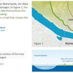
- The River Waal at Nijmegen has one of the narrowest bends in the Dutch river system. While the narrowest point in the river’s floodplain is only 450 meters in Nijmegen, the floodplain is 1,500 and 1000 meters wide immediately upstream and downstream of this location.
- Because of the narrow bend at Nijmegen, the river is channeled through the narrow waterway in the North area of the city, which results in high water levels and, possibly, in floods.
- The narrow bend close to the city is also known as the bottleneck of Nijmegen and a dike located in this area protects the northern part of the city from flooding. However, because climate change is expected to occasioned even higher water levels in this area, there is no certainty that this dike will prevent flooding in the future.
- There are 50 householders located directly behind the dike, in the residential area of Lent, who will be directly affected by any project related to the river and to the dike.
Some hints
- In order to reduce the risk of flooding in the city of Nijmegen, the predicted high water levels of the river under flood conditions need to decrease at least 30 cm.
- The solution should not only reduce the risk of flooding, it should also provide added value to the city of Nijmegen and its inhabitants.
- Floodplains, the areas of land adjacent to streams and rivers, usually support productive and diverse wetland ecosystems. Beavers, fish and many other organisms often inhabit these areas.
Additional knowledge clips on river systems and river interventions
Have a look at the videos below. These videos are part of the MOOC Water and Climate, also from Delft University of Technology. They will provide you with additional knowledge on river systems and river interventions that you can apply to design your own Building with Nature solution.
River Systems
River Interventions
Additional sources
These links can provide more information on the subject.

Engineering: Building with Nature by TU Delft OpenCourseWare is licensed under a Creative Commons Attribution-NonCommercial-ShareAlike 4.0 International License.
Based on a work at https://ocw.tudelft.nl/courses/engineering-building-nature/.